

123 votes - Photo & Video - First release: 2019-10-23T07:00:00Z
Screenshots


Description - 4+
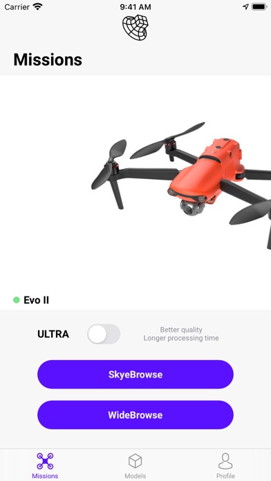
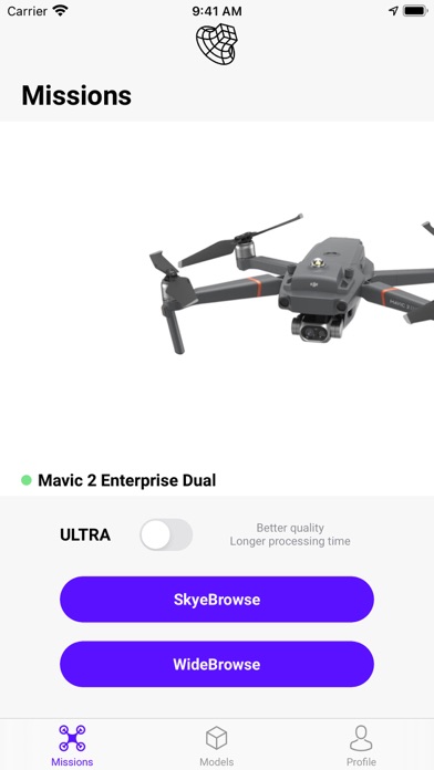
Designed by public safety for public safety, SkyeBrowse democratizes reality capture for your Autel and DJI drones. To create a digital twin, fly above a scene and tap "Start." That's it.

Departments have documented accident and crime scenes in 90 seconds, instead of 3 hours. Thermal mapping allows for live structure fires to be 3D modeled in 2 minutes. With WideBrowse, 50 acres can be mapped in 5 minutes for natural disasters. Hazmat runoffs are cleared 90% faster with SkyeBrowse. Pre-planning for critical infrastructure is done with a 5 minute flight. Government and school buildings are being mapped by officers flying SkyeBrowse for actionable intelligence during future active shooter situations. All of this data is acquired from 1 tap on the SkyeBrowse app.

FLIGHT APP
Download the SkyeBrowse app to automate your drone flights with just 1 tap!
SKYEBROWSE MODELING
Upload your videos to the SkyeBrowse platform for simplified 3D modeling. The world’s fastest 3D modeling platform is now in the hands of first responders.

SUPPORTED DRONES
• Autel Evo I
• Autel Evo II Pro / 8k / Dual / 640T
• Mavic 2 Pro / Zoom / Enterprise / Dual (thermal)
• Mavic Pro
• Phantom 4 Pro V1 / V2
• Phantom 4
• Phantom 3 Pro / Advanced
• Inspire 2
• Inspire 1 / Pro
• Matrice 200 / 210 / 210 RTK V1 / V2
• Matrice 600

UNSUPPORTED DRONES AND PLATFORMS
• DJI Spark
• DJI Mavic Mini
• DJI Mini 2
• DJI Mavic Air
• DJI Mavic Air 2
• DJI Crystal Sky
• Mavic 2 Enterprise Advanced
• Phantom 4 Pro Plus v2
• M300 RTK (H20, H20T)

TUTORIAL
1) Fly your drone directly above the scene
2) Tap "Start"
3) Upload the video from SD card to the SkyeBrowse website

FEATURES
•SkyeBrowse Videogrammetry
•WideBrowse Long Range Mapping
•Thermal Reality Capture
•CJIS Compliance
•SD Card Upload
•Night Ops
•One Click Model Sharing
•Unlimited Pilots, Devices, and Modeling
•Heat maps, Slope Maps, and Hazmat Situational Intelligence Tools - position snipers, predict hazmat runoffs, determine altitudes
•One Click Reports