

95 votes - Navigation - First release: 2020-02-05T08:00:00Z
Screenshots

Description - 4+
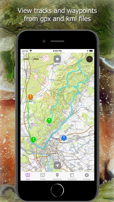
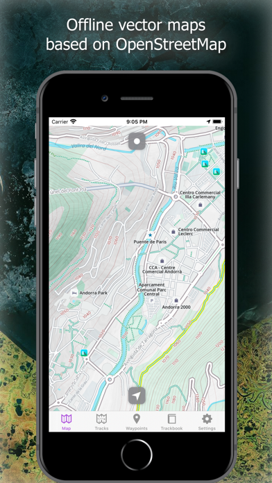
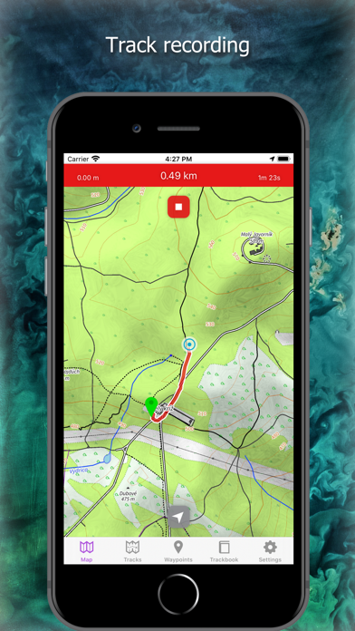
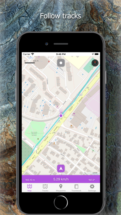
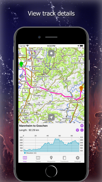
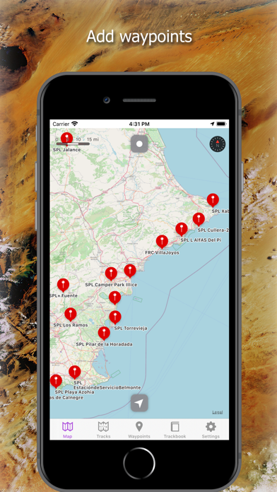
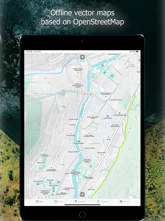
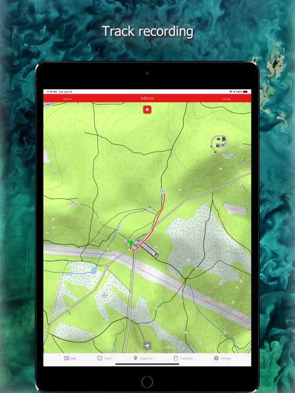
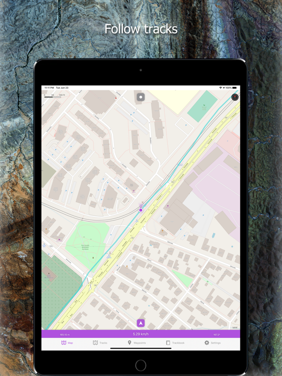
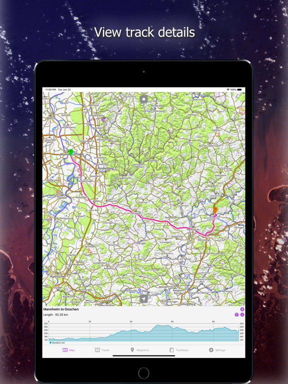
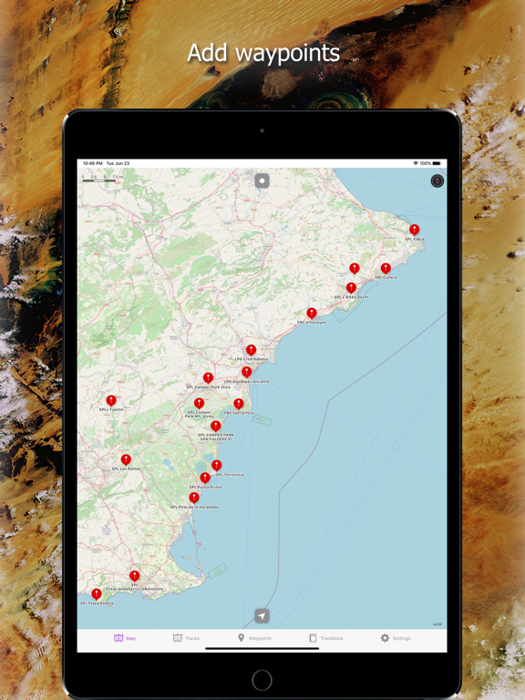
Import tracks and waypoints from gpx and kml files. Show multiple tracks and waypoints on various map types. Review and analyze track statistics and charts. Use this app as a simple navigation tool with location tracking which allows following GPS position and map rotation.

USER INTERFACE
• Supports dark and light color schemes
• Supports iPhone and iPad devices

ONLINE MAPS
• Apple Maps
• OpenStreetMap
• OpenTopoMap
• ÖPNVKarte
• CyclOSM

OFFLINE MAPS
• Detailed worldwide offline vector maps based on OpenStreetMap data
• Wide variety of offline map styles from city to outdoor oriented styles, preview: https://go.vecturagames.com/offline
• Monthly updates with improved data

TRACK RECORDING
• Record tracks with speed and elevation

SIMPLE NAVIGATION TOOL
• Location tracking with follow GPS and rotate map
• Shows actual speed, elevation and course

TRACKS
• Import tracks from gpx and kml files stored at iCloud or device storage
• Analyze information and statistics for tracks and routes
• View graphs (charts) like elevation profile and speed profile for tracks and routes
• View graphs of other track data like cadence, heart rate, power and air temperature
• Adjust track line color

WAYPOINTS
• Import waypoints from gpx and kml files stored at iCloud or device storage
• Detailed waypoint information
• Adjust waypoint color
• Add waypoints with long press

TRACKBOOK INTEGRATION
• synchronize tracks and waypoints created on Trackbook - https://trackbook.online