

2759 votes - Travel - First release: 2013-06-03T21:33:04Z
Screenshots
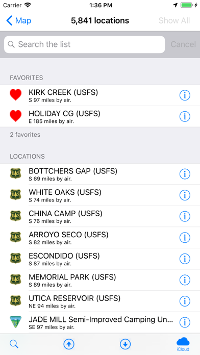


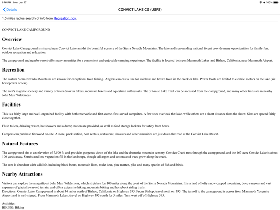


Description - 4+
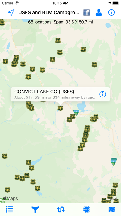
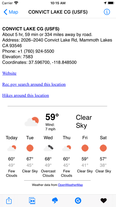
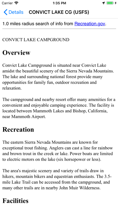
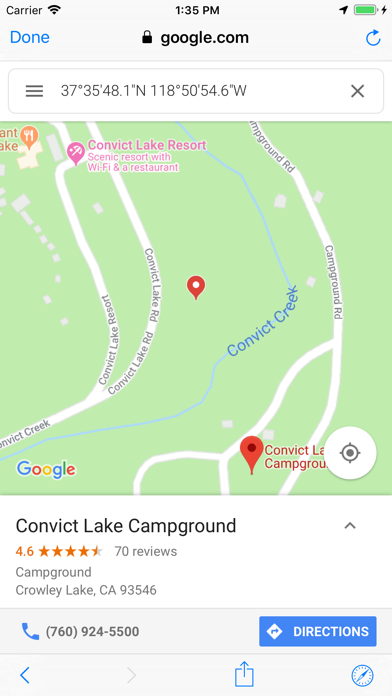
This app shows over 5,650 United States Forest Service (USFS) and Bureau of Land Management (BLM) campgrounds throughout the USA.

These types of campgrounds tend to be low cost or free.  Each location displays the campground name, which agency administers it (BLM or USFS), the local weather, elevation, Internet images and searches of the campground, Flickr geotag search, rec.gov info, and more.  Easily locate the campgrounds nearest you.  Send location data directly to our Road Trip Planner app.

Import routes from GPX files.  This makes it much easier to find locations along your route.

- Show a route between your location and the campground.
- Map layers include Apple, Google, and Open Street Maps.
- No Internet connection required to view campground locations and info.
- View Flickr photos of each location (if they exist).